Levees are used in every state in the US with a higher concentration in states that have large bodies of water, such as coastlines and the central part of the US. According to the United States Army Corps of Engineers National Levee Database, there are more than 20,000 miles of levees, and the average age of a levee is 59 years old.
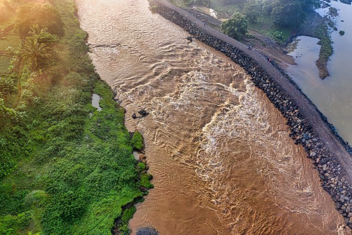
Levees play a critical role in our society. Typically, levees are made from the earth, and these structures are built either to prevent flooding or to use the land for agricultural purposes. According to National Geographic's Levee page, levees have been built and reinforced since the beginning of civilization. You’ve likely encountered a levee without even realizing it. An example of a simple levee is when you use sandbags to prevent flooding near your home.
Usually, levees are manually monitored. To combat this ongoing challenge, a Campbell Scientific client wanted to automatically observe and assess a levee’s critical structure. The focus was to provide early detection and prevention of potential failures by automating their monitoring. One of the important reasons for levee monitoring is to safeguard communities residing within the levee’s vicinity. To gather crucial data on levee behavior, an array of state-of-the-art instruments and sensors was deployed. This included a specialized Time Domain Reflectometry (TDR) system from Campbell Scientific. The TDR system provided invaluable data on horizontal and vertical displacement, as well as water content, temperature, and pore pressure at various locations.
The ability to collect, analyze, and correlate real-time data has revolutionized the field of geotechnical engineering, providing engineers with vital information for infrastructure design and disaster-prevention strategies. This project's unique approach—combining scientific methodologies with engineering expertise—has set a new benchmark for levee-monitoring initiatives. By combining advanced instruments, real-time data visualization, and proactive decision-making, this project has not only enhanced levee safety but also paved the way for future advancements in geotechnical engineering and disaster-prevention strategies.
Other regions facing similar challenges can use this case study as an example to implement automated systems for monitoring and assessing their data, thereby ensuring the stability of levees across broader areas. If you are interested in implementing platforms to help monitor your levees, dams, or other geotechnical projects, please reach out to either of these friendly resources:
- Our sales team members (infra-sales-na@campbellsci.com)
- Our application engineers (CSI-Infrastructure@campbellsci.com)
We’d be happy to assist you with any questions you may have.
Please note that due to confidentiality concerns, the client, location, and identifying information for this case study cannot be provided.